
Tech in Disaster Preparedness: Best Practices and Innovations
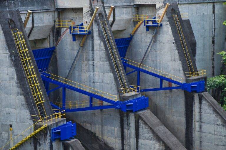
In recent years, the use of Geographic Information Systems (GIS) technology has played a crucial role in disaster preparedness. GIS technology allows for the visualization, analysis, and interpretation of data related to potential hazards, vulnerable populations, and critical infrastructure. By integrating various data layers, such as population density, topography, and past disaster occurrences, emergency responders can better plan and allocate resources to mitigate the impact of disasters.
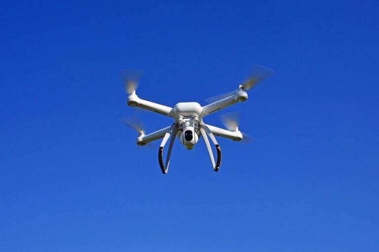
Another key technology for disaster preparedness is the development of early warning systems that can provide timely and accurate information about imminent threats. Advanced sensor technologies, satellite imagery, and weather forecasting tools are used to detect signs of impending disasters, such as earthquakes, tsunamis, or severe weather events. By leveraging these technologies, authorities can issue alerts and evacuation orders to at-risk communities, potentially saving lives and minimizing damage caused by natural disasters.
Innovative Tools for Early Warning Systems
Early warning systems play a crucial role in mitigating the impact of natural disasters. By employing innovative tools such as satellite imagery and remote sensors, authorities can gather real-time data to detect potential threats. These tools provide valuable information that allows for immediate decision-making and timely evacuation measures to protect lives and property.
In addition to using advanced technology for early detection, social media platforms like Twitter and Facebook have become essential tools for disseminating alerts and warnings to the public in times of crisis. Leveraging the widespread use of social media, emergency response agencies can reach a larger audience quickly, providing crucial information and guidance to those in affected areas. By harnessing the power of both traditional and digital tools, early warning systems continue to evolve and enhance disaster preparedness efforts worldwide.
What are some key technologies used in early warning systems for disaster preparedness?
Some key technologies include remote sensing, satellite imagery, early warning sensors, data analytics, and communication systems.
How do these innovative tools enhance early warning systems?
These tools help to detect potential disasters early, communicate warning alerts efficiently, and provide real-time data for decision-making and response coordination.
Can early warning systems be customized for different types of disasters?
Yes, early warning systems can be tailored to specific types of disasters such as earthquakes, tsunamis, floods, hurricanes, and wildfires.
How can communities and governments benefit from investing in innovative tools for early warning systems?
Investing in these tools can save lives, reduce property damage, improve disaster response efforts, and enhance overall disaster preparedness and resilience.
Are there any challenges or limitations to implementing these innovative tools in early warning systems?
Some challenges include the cost of implementing and maintaining these technologies, ensuring effective communication and coordination among stakeholders, and addressing privacy and data security concerns.